History of Sumela Monastery
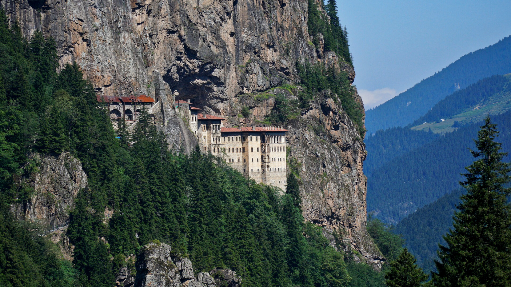
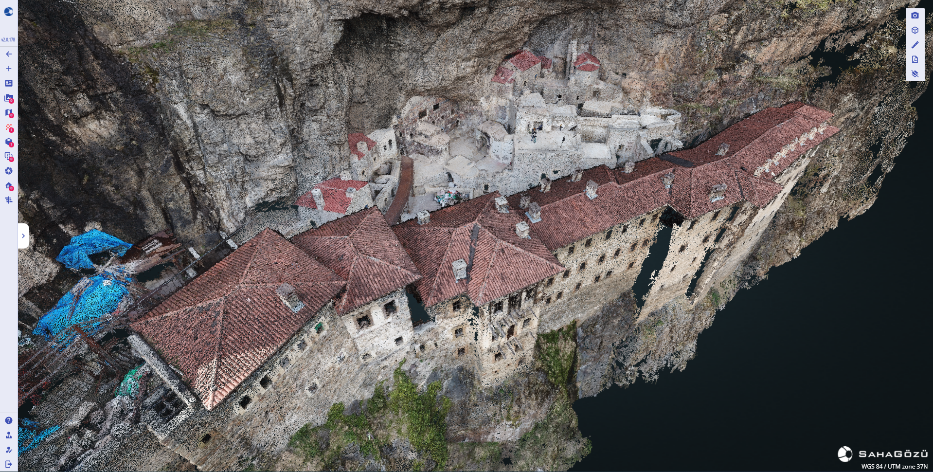
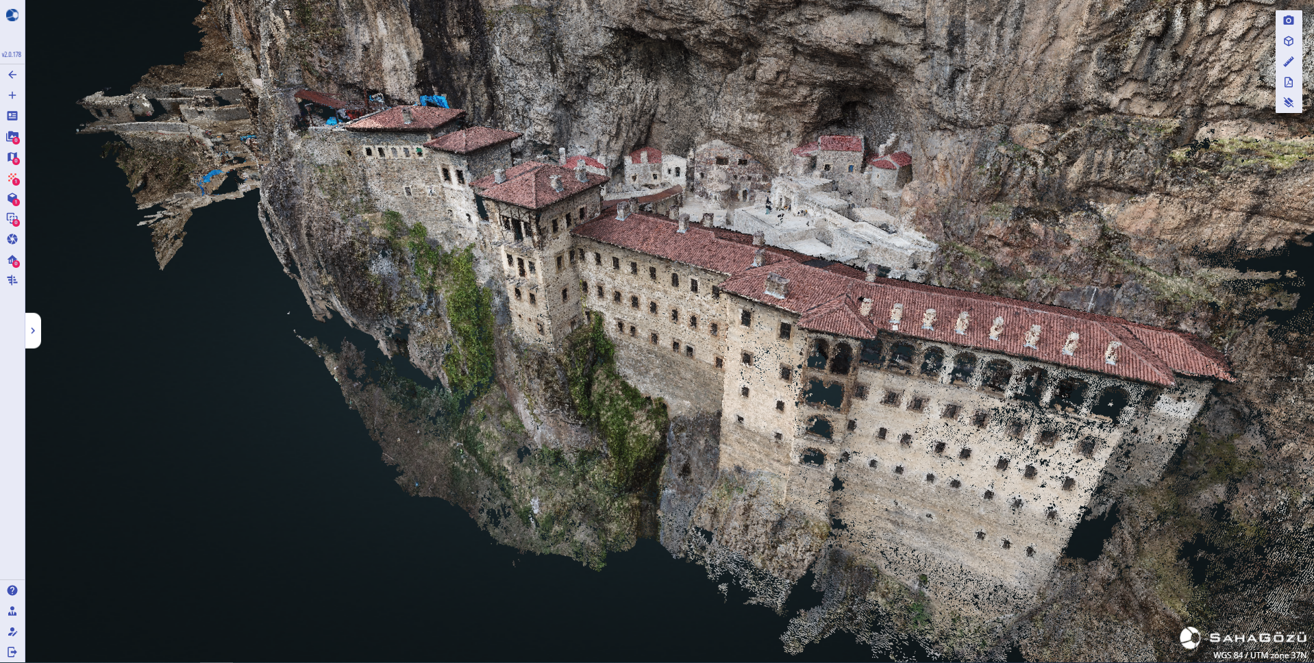
Sümela Monastery in Maçka District of Trabzon was founded by two priests named Barnabas and Sophranios from Athens during the reign of Byzantine Emperor Theodosius I (375-395), and was built on a steep cliff on the slope of Karadağ in Altındere Valley. It is known by the name of “Virgin Mary” among the people. This Greek Orthodox monastery and church complex, which is 1150 meters above the sea and 300 meters above the valley, is on the UNESCO World Cultural Heritage Tentative List.
The main sections of the Sumela Monastery are; The bedrock church, several chapels, kitchen, student rooms, guesthouse, library and holy spring. This group of buildings was built on a very large area. The large aqueduct, which seems to bring water at the entrance of the monastery, is leaning against the slope. Most of this arch, which has many eyes, has been demolished today.
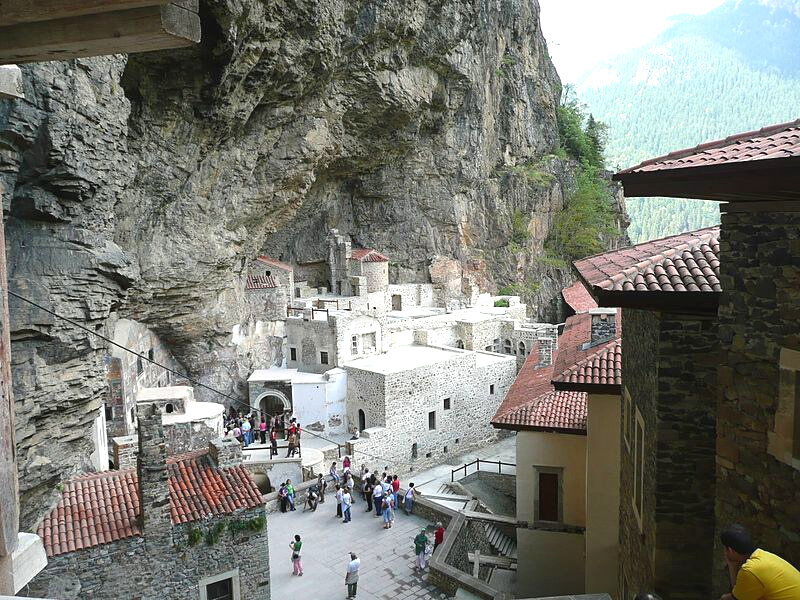
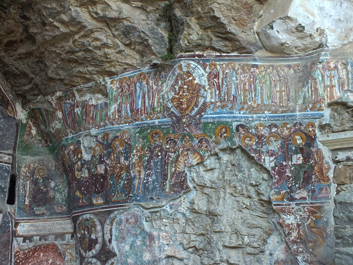
Many parts of Sumela Monastery were renovated in the 18th century and some walls were decorated with frescoes. During the Russian occupation of Trabzon between 1916-1918, the monastery was confiscated, and after 1923 it was completely evacuated.
Modeling of Sümela Monastery using SiteEye
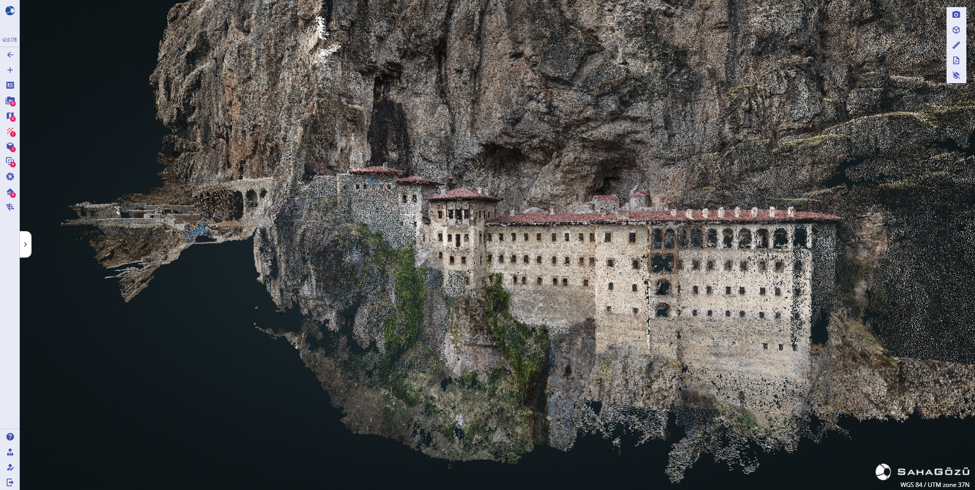
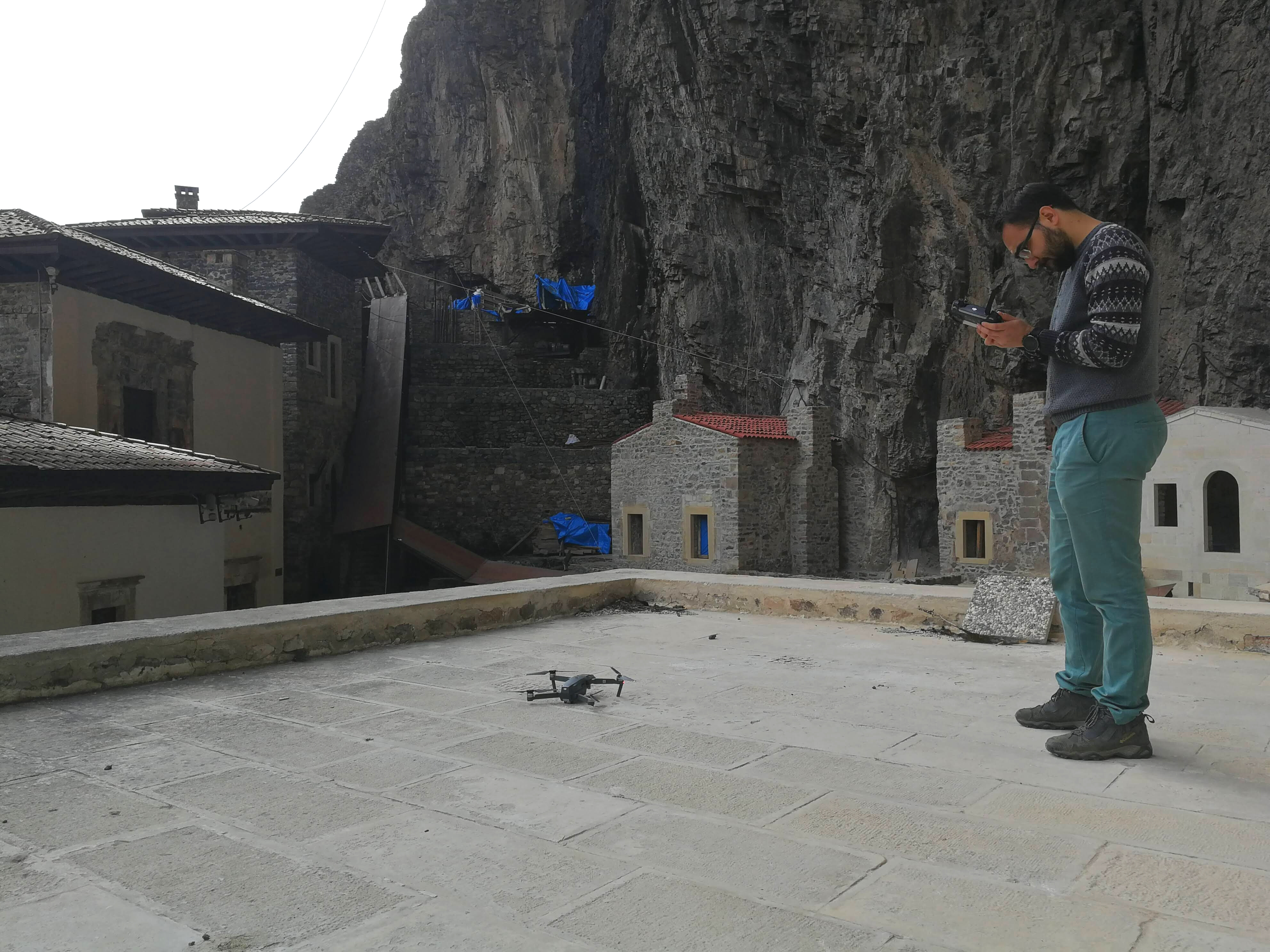
A 3D model of Monestery was created by shooting with an Unmanned Aerial Vehicle (Drone) by the SahaGözü flight crew. You can view the 3D model by becoming a free user of SiteEye by clicking here.
Creating 3D Model via UAV
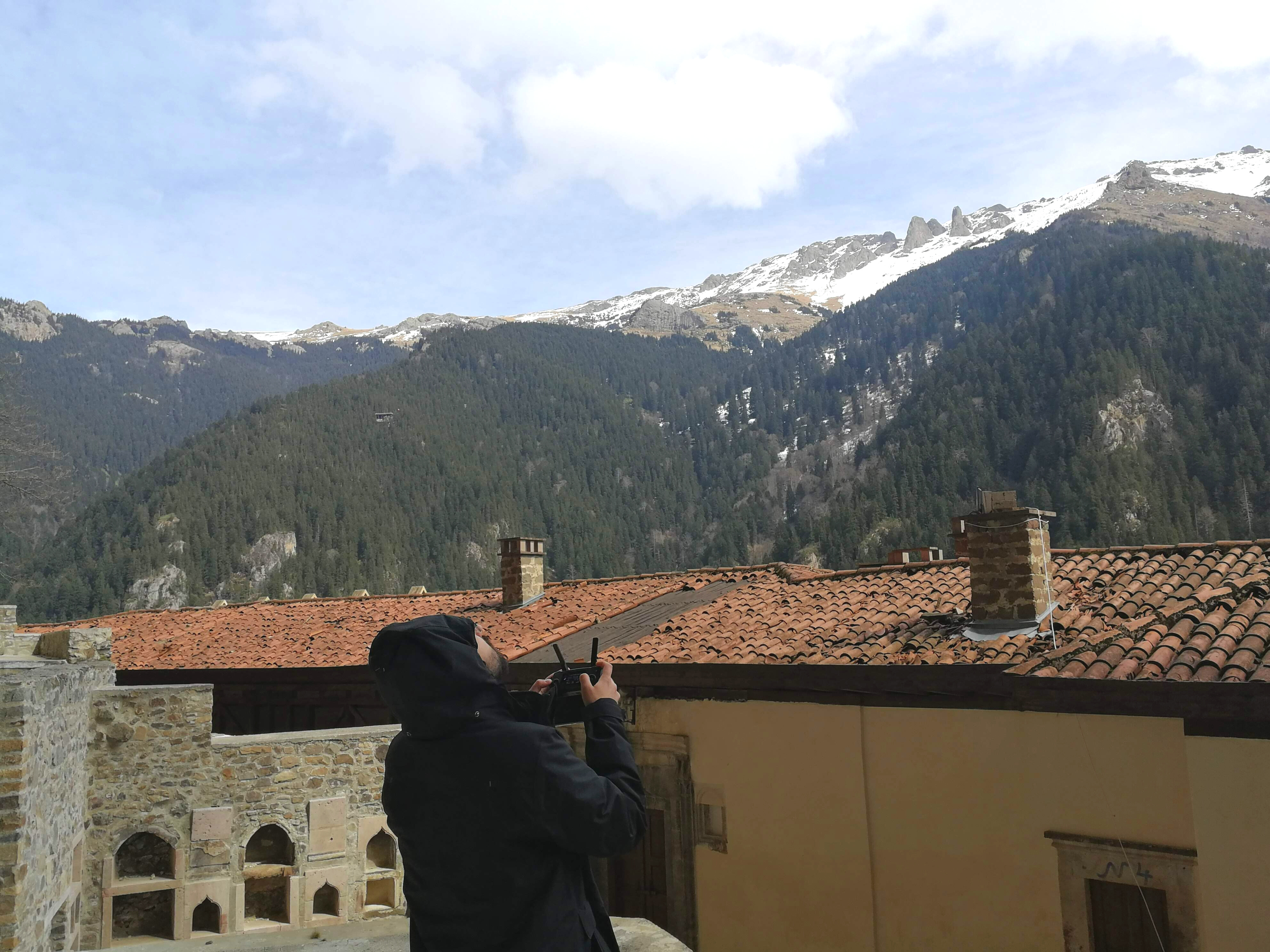
In order to create 3D model with UAV, overlapping photographs of the Monastery with the drone were taken within the principles of photogrammetric modeling. Photographs were uploaded to cloud storage via SiteEye modeling interface and analysis was started.
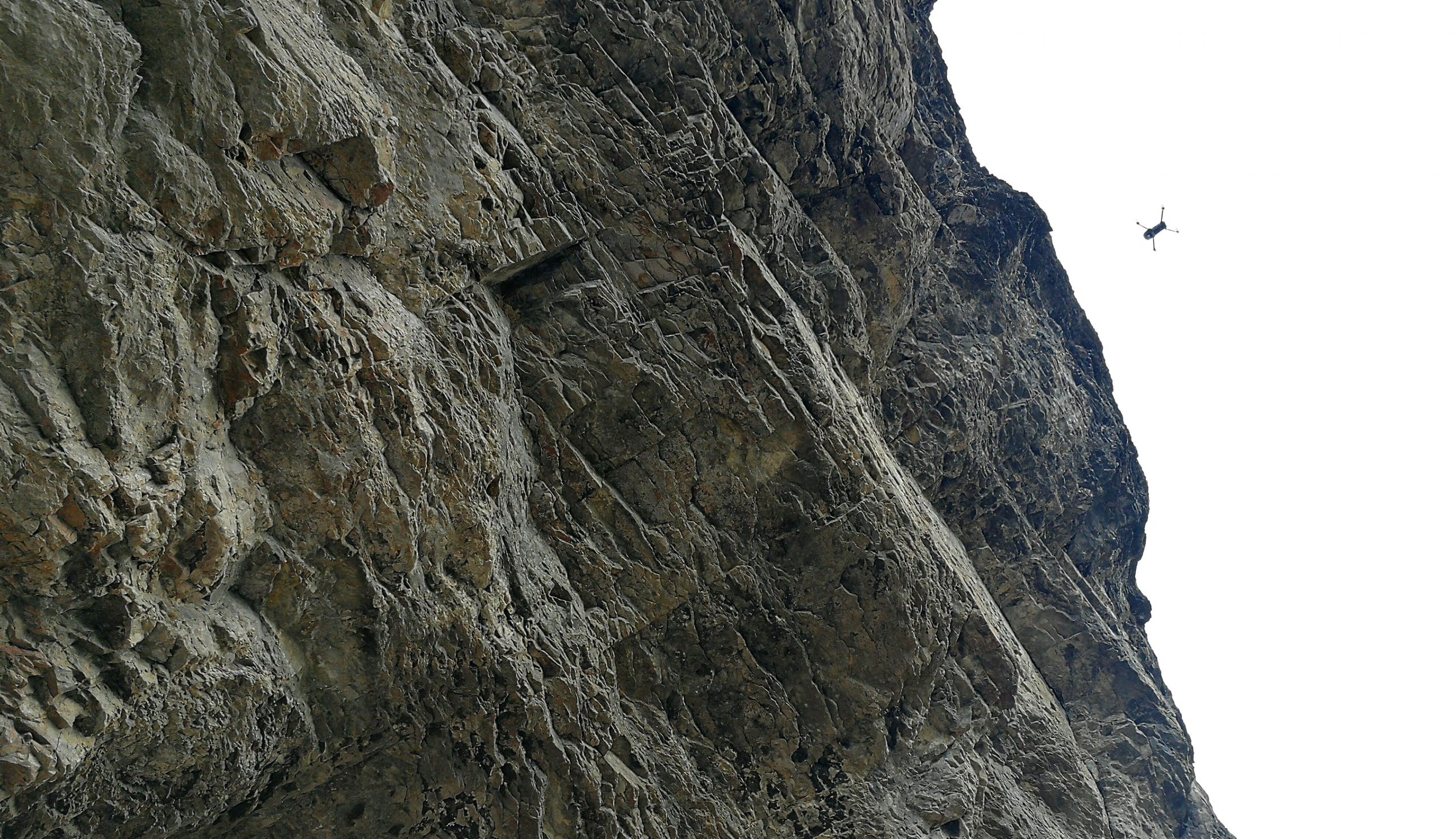
DJI Mavic Pro drone model was used for image acquisition. 2173 photographs and 16 ground control points were used to create the model. The generated point cloud consists of 57,636,821 points. Geometric measurements such as length, height, area, and slope are possible with SiteEye web interface on the 3D point cloud with an average ground sampling distance of 0.78 cm.
The point cloud can be displayed by RGB and digital height.
Cross Section Analysis
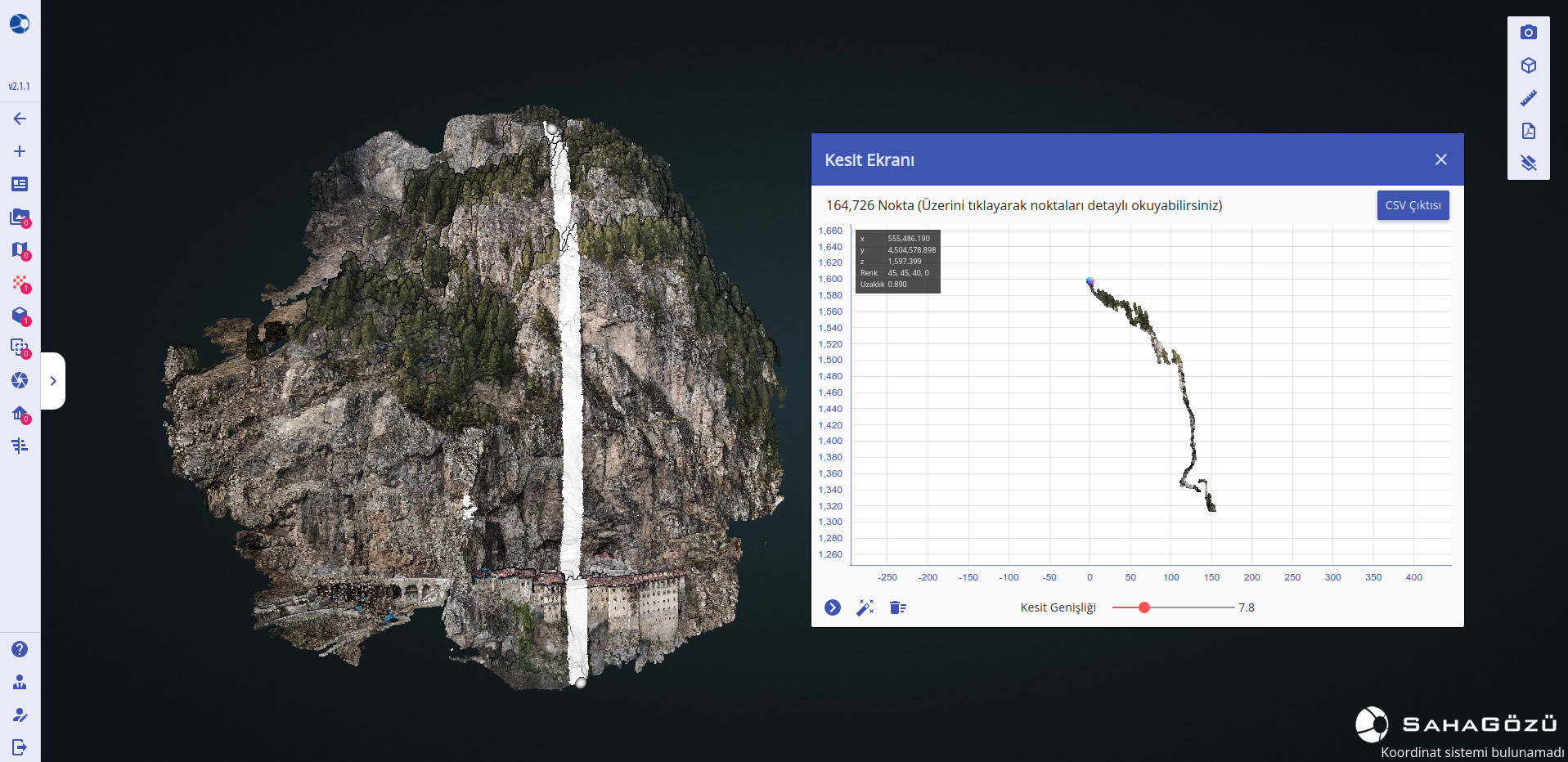
Cross-section geometries were created and downloaded via SiteEye sectioning on the created model, and rockfall risk calculations were made for the visited sites.